Cutting-Edge Software
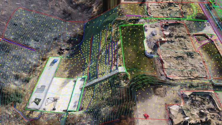
We have the ability to interface with today's and tomorrow's information technology. We utilize the following land surveying software:
- Autodesk AutoCAD Civil 3D 2020
- Trimble Business Center
- Pix4D
- Aerotas — Photomapper
- ESRI-ArcGis

Experienced and Certified Personnel
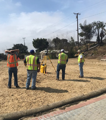
Our field crew personnel have over 30 years of active field experience and are:
- Licensed Land Surveyors and Chief of Parties
- Licensed FAA Remote Pilots
- OSHA HAZWOPER Certified — 40 Hours
- ExxonMobil Land Safe Training Certified
- BP Safety Passport Certified
- Los Angeles Refinery Safety Overview (RSO) Certified
- Loss Prevention System (LPS) Certified
- API WorkSafe Certified
- US Pipelines and Logistics Site Orientation Certified
- Shell Global 12 Life-Saving Rules Certified


